
ไฟล์:Germany, German Democratic Republic (+districts) location map w·o FRG 1990.svg

ขนาดของตัวอย่าง PNG นี้ของไฟล์ SVG นี้: 469 × 599 พิกเซล ความละเอียดอื่น: 188 × 240 พิกเซล | 376 × 480 พิกเซล | 601 × 768 พิกเซล | 802 × 1,024 พิกเซล | 1,604 × 2,048 พิกเซล | 618 × 789 พิกเซล
ดูภาพที่มีความละเอียดสูงกว่า ((ไฟล์ SVG, 618 × 789 พิกเซล, ขนาดไฟล์: 3.87 เมกะไบต์))
| รูปภาพหรือไฟล์เสียงนี้ ต้นฉบับอยู่ที่ คอมมอนส์ รายละเอียดด้านล่าง เป็นข้อความที่แสดงผลจาก ไฟล์ต้นฉบับในคอมมอนส์
|
_location_map_w%C2%B7o_FRG_1990.svg)
ข้าพเจ้า ในฐานะผู้ถือลิขสิทธิ์ของภาพหรือสื่อนี้ อนุญาตให้ใช้ภาพหรือสื่อนี้ภายใต้เงื่อนไขต่อไปนี้
ไฟล์นี้อยู่ภายใต้สัญญาอนุญาต ครีเอทีฟคอมมอนส์ แบบแสดงที่มา-อนุญาตแบบเดียวกัน 2.5 ทั่วไป
- คุณสามารถ:
- ที่จะแบ่งปัน – ที่จะทำสำเนา แจกจ่าย และส่งงานดังกล่าวต่อไป
- ที่จะเรียบเรียงใหม่ – ที่จะดัดแปลงงานดังกล่าว
- ภายใต้เงื่อนไขต่อไปนี้:
- แสดงที่มา – คุณต้องให้เกียรติเจ้าของงานอย่างเหมาะสม โดยเพิ่มลิงก์ไปยังสัญญาอนุญาต และระบุหากมีการเปลี่ยนแปลง คุณอาจทำเช่นนี้ได้ในรูปแบบใดก็ได้ตามควร แต่ต้องไม่ใช่ในลักษณะที่แนะว่าผู้ให้อนุญาตสนับสนุนคุณหรือการใช้งานของคุณ
- อนุญาตแบบเดียวกัน – หากคุณดัดแปลง เปลี่ยนรูป หรือต่อเติมงานนี้ คุณต้องใช้สัญญาอนุญาตแบบเดียวกันหรือแบบที่เหมือนกับสัญญาอนุญาตที่ใช้กับงานนี้เท่านั้น
ประวัติไฟล์
คลิกวันที่/เวลาเพื่อดูไฟล์ที่ปรากฏในขณะนั้น
| วันที่/เวลา | รูปย่อ | ขนาด | ผู้ใช้ | ความเห็น | |
|---|---|---|---|---|---|
| ปัจจุบัน | 01:30, 28 ตุลาคม 2556 | | 618 × 789 (3.87 เมกะไบต์) | TUBS | inseln zurück an ddr |
| 19:36, 27 ตุลาคม 2556 |  | 618 × 789 (3.95 เมกะไบต์) | TUBS | ||
| 04:06, 27 ตุลาคม 2556 |  | 618 × 789 (2.94 เมกะไบต์) | TUBS | -Greifswald Land umschließend dargestellt | |
| 03:50, 27 ตุลาคม 2556 |  | 618 × 789 (2.94 เมกะไบต์) | TUBS | ||
| 03:39, 27 ตุลาคม 2556 |  | 618 × 789 (2.94 เมกะไบต์) | TUBS | https://de.wikipedia.org/wiki/Wikipedia:Kartenwerkstatt#Kreise_in_der_DDR | |
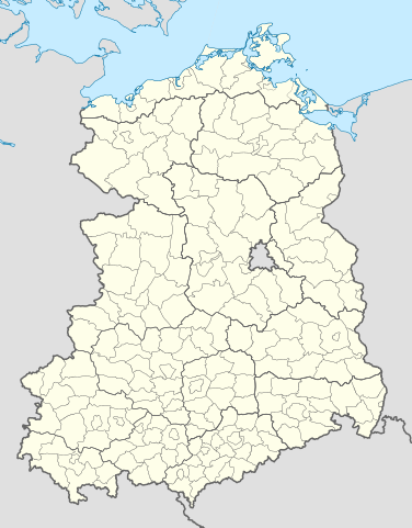
| 14:44, 26 ตุลาคม 2556 |  | 618 × 789 (1.09 เมกะไบต์) | TUBS | {{Information |Description= {{de|Kreise und Bezirke der Deutschen Demokratischen Republik Stand Oktober 1990.}} |Source={{own}}{{Adobe Illustrator}}{{AttribSVG|Germany, German Demorcratic Republic location map w... |
หน้าที่มีภาพนี้
ไม่มีหน้าใดโยงมาที่ภาพนี้
การใช้ไฟล์ข้ามโครงการ
วิกิอื่นต่อไปนี้ใช้ไฟล์นี้:
- การใช้บน de.wikipedia.org
_location_map_w·o_FRG_1990.svg)